
LLaRMA signs SLA with Monarch Surveyors & Engineering Consultants Pvt Ltd for digitization of revenue records and Survey / Resurvey Work
A historic moment for Ladakh, says PS Kotwal
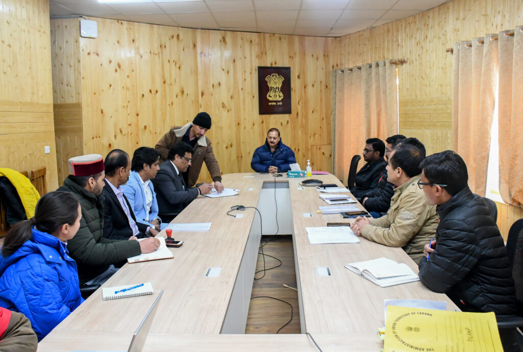
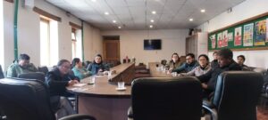
Leh, Jan 13: Ladakh Land Records Management Agency (LLaRMA), under the chairmanship of Financial Commissioner, UT Ladakh Dr. Pawan Kotwal signed the Service Level Agreement (SLA) with M/S Monarch Surveyors and Engineering Consultants Pvt Ltd and Consol Geo Technologies Pvt. Ltd for executing the survey/resurvey of digitization of revenue records under the Digital India Land Records Modernization Program (DILRMP).
Dr. Kotwal termed the occasion as historic and applauded the efforts put in by officials of various departments in successfully reaching this stage of execution of the Service Level Agreement in a systematic manner.
Dr. Kotwal urged the executing agencies to emphasize accuracy while doing the digitization of revenue records by conducting due verification of the work done by the vendor and stated that a minor mistake or typing error in revenue record, done intentionally or unintentionally, may lead to years of litigation and consequent suffering to the concerned landholder/owner of the land and such errors must be avoided at all costs as there is no scope of any error while digitizing or constructing revenue record.
The Principal Secretary further urged the Deputy Commissioners to ensure ‘Zero Tolerance’ to any error while digitizing/computerizing the revenue records by the Vendor. He asked them to engage retired Revenue Officials on a hiring basis for scrutinizing the digitization work and the payment to the concerned Vendor would be released upon obtaining a certificate from these experts that the entries have been made flawlessly.
He also asked the IT / NIC officials to competently handle hosting the data. He said that after the digitization of the updated Jamabandis (Record of Rights) and Mussavis is completed, the latest and highly accurate Continuously Operating Reference Station (CORS) Network Technology would be adopted while conducting Survey / Resurvey Work so that Geo-referenced land parcel maps could be generated and each land parcel/plot could be assigned Unique Land Parcel Identification Number ( ULPIN) which would like an Aadhaar No. of the land parcel/plot with accurate geo- coordinates as is being done in case of Abadi Deh plots under SVAMTIVA Scheme.
It would empower the landholders/ people with hassle-free access to their land documents online in the future and would enable issuance of digitally signed revenue extracts to be issued online to the landholders /land owners besides speeding up the overall development of infrastructure in the UT of Ladakh.
Deputy Commissioner Leh Shrikant Suse, &Deputy Commissioner Kargil Santosh Sukhdeve, Additional Secretary Finance Rajath Kumar, ADC Leh Sonam Chosjor, ACR Leh Shabbir Hussain, Director (IT)/Technical Director NIC Leh Phuntsog Paldan and other Revenue officers attended the meeting.
Related Posts
SVEEP programme at Tangtse
General Observer visited 3 polling station
Encouraging Young and first-time Voters: Chief Electoral Officer UT Ladakh Unveils Election Song

Five in fray for Ladakh Lok Sabha seat; 3 nominations rejected
Leh Medical Department Empowers Community Healthcare Through Jan Arogya Samiti Training Session

General Observer visits 8 polling stations in Nimoo Block

Department of Information and Public Relations, Leh Ladakh
