ISRO Chairman V. Narayanan Announces Upcoming Weather Surveillance Satellite EOS-09

New Delhi [India], May 16 (ANI): The Indian Space Research Organisation (ISRO) is set to launch its 101st satellite, EOS-09, aboard the Polar Satellite Launch Vehicle (PSLV-C61) on May 18, 2025.
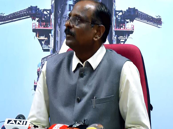
According to ISRO Chairman V. Narayanan” The launch is scheduled for 5:59 am from the Satish Dhawan Space Centre in Sriharikota”.
The PSLV-C61 rocket was transported to the Mobile Service Tower at the Satish Dhawan Space Centre in Sriharikota for final integration and checks before its scheduled launch on May 18.
Former ISRO scientist Purohit also mentioned that EOS-09 would serve as a follow-on to the earlier RISAT-1 mission. This launch is strategically timed,” said former ISRO scientist Manish Purohit.
“It strengthens monitoring at borders and coasts, particularly with respect to sensitive areas. The satellite can detect ingress or suspicious movement deemed vital in anti-terror operations, especially after the recent Pahalgam terror attack and Operation Sindoor,” added Purohit.
Earlier ISRO Chairman V. Narayanan stressed the critical role of satellite technology in national security and governance, stating, “With the PSLV-C61/EOS-09 mission, ISRO continues to demonstrate its commitment to both technological excellence and the national interest.”
IN-SPACe Chairman Pawan Kumar Goenka echoed this sentiment, emphasizing the need for constant enhancement of capabilities.
ISRO is gearing up to launch the NASA-ISRO Synthetic Aperture Radar (NISAR) satellite on the GSLV-F16 mission. NISAR will utilize dual-band radar technology from both NASA and ISRO to monitor Earth’s surface changes, ecosystems, and natural disasters, providing valuable insights into our planet’s dynamics.
The EOS-09 satellite is a cutting-edge Earth observation satellite designed to bolster India’s space-based surveillance capabilities. Fitted with advanced C-band synthetic aperture radar technology, it can capture high-resolution images of the Earth’s surface regardless of weather conditions or time of day. This capability enables effective monitoring and management across various sectors (ANI).
This story is not been edited by Take One Television & Digital Network Staff and is auto-generated from syndicated feed


